


Fireguard Wildfire Tracker app
free Fireguard Wildfire Tracker app
download Fireguard Wildfire Tracker app
Fireguard Wildfire Tracker apk
free Fireguard Wildfire Tracker apk
download Fireguard Wildfire Tracker apk

Fireguard Wildfire Tracker
4.3


100K+


これについて app
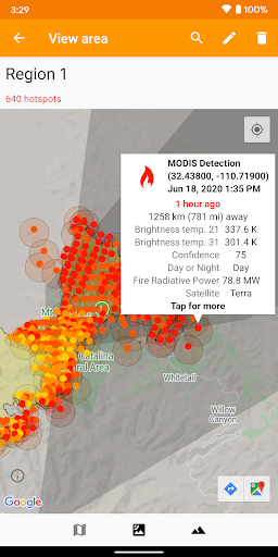
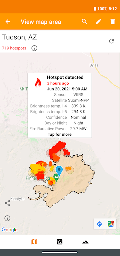
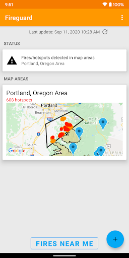
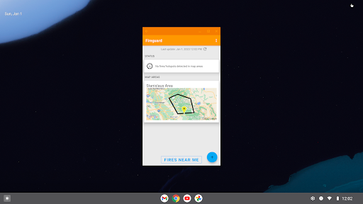
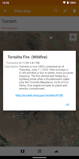
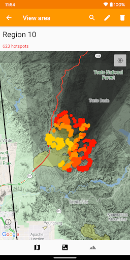
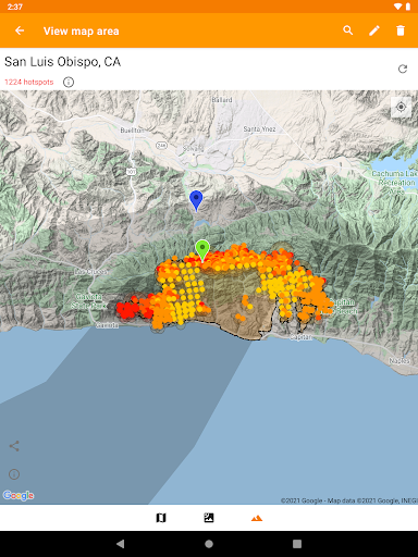
Get a powerful wildfire activity tracking map with fire alerts and near real-time tracking of fire locations and progression.
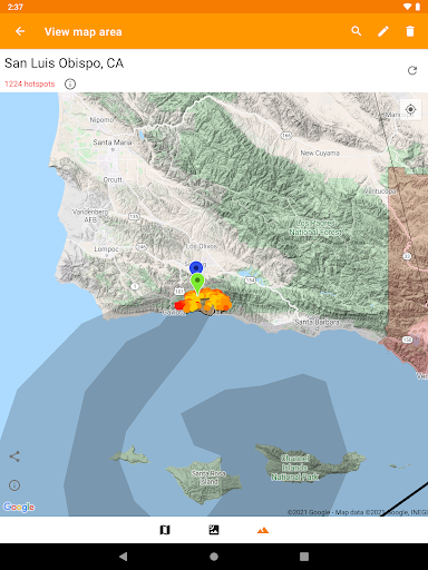
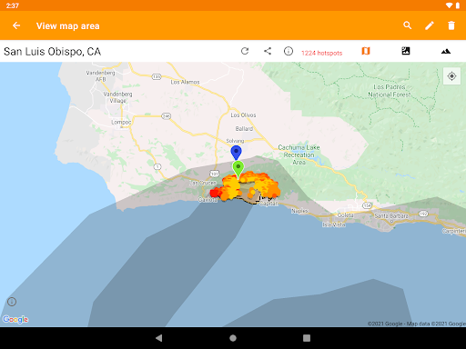
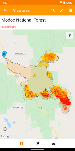
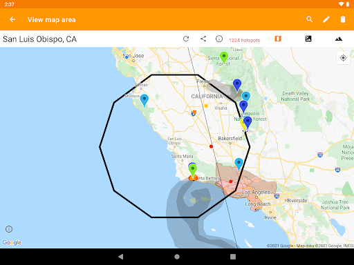
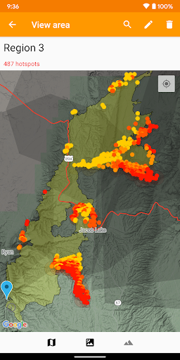
See details of fire activity overlaid on a single map:
• Hotspots identified by satellite-based sensors
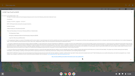
• US & Canada wildfire incident reports
• Wildfire burned area boundaries
• Crowdsourced fire report markers
• NOAA smoke areas
• Cal Fire incident detail
• Fire weather risk areas
• Fire cameras
Who can benefit from this app?
• Anyone living or working in wildfire-prone areas
• People who may want to alert family members in remote or high-risk areas
• Anyone interested in emergency preparedness and wildfire risk reduction
No login or registration required.
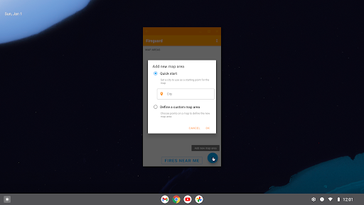
QUICK START: Open app and tap on "Fires near me"
Ad-supported. If you like the app, please consider upgrading with a one-time purchase to unlock bonus features, disable advertising, and support future development.
もっと見せる
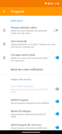
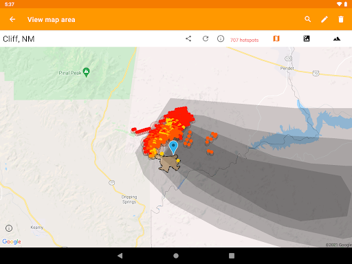
スクリーンショット
コメント
類似のアプリ


類似のアプリ


トップダウンロード


[email protected] をコピーします。全著作権所有
Google Play™ は Google Inc. の商標です。
ApkYes は、Google、Android OEM、Android アプリケーション開発者とはいかなる形でも提携していません。

