TouchTrails: Route Planner app
free TouchTrails: Route Planner app
download TouchTrails: Route Planner app
TouchTrails: Route Planner apk
free TouchTrails: Route Planner apk
download TouchTrails: Route Planner apk

TouchTrails: Route Planner
3.9
100K+
About This app
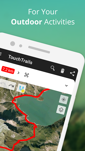
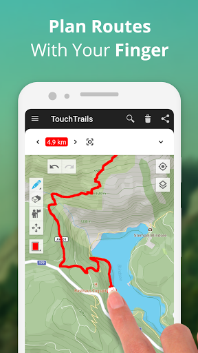
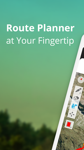
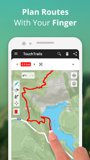
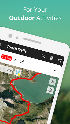
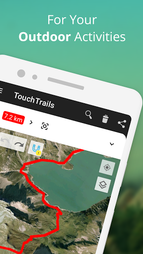
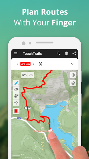
TouchTrails is an easy-to-use route planner for all your outdoor adventures . Simply trace your routes on the map with your finger to get accurate distance information and detailed elevation profiles.
Plan routes for your next bike ride or multi-day hiking adventure. Then follow along with turn-by-turn voice navigation.
Plan and customize your routes
Draw routes anywhere with your finger. Snap to road keeps you on track, but you can also go completely off-road. TouchTrails gives you the flexibility to create routes that fit your needs. Split routes, erase parts or connect them.
Measure distance and elevation
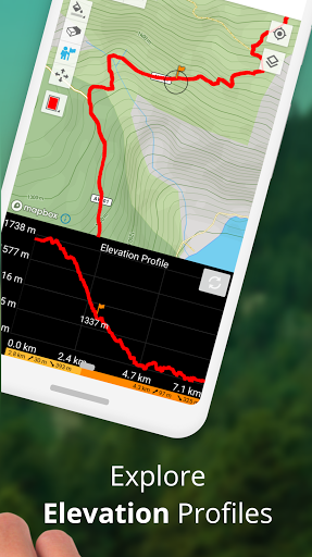
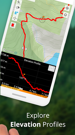
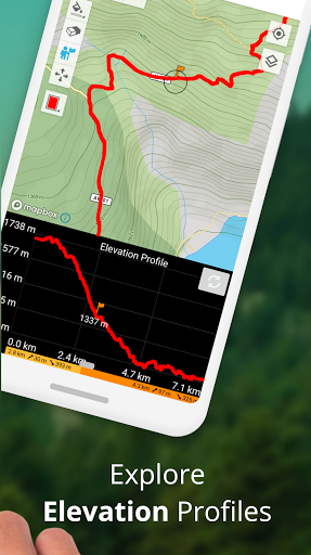
Accurate distance measurements and detailed elevation profiles help you understand how far and how high your adventure will take you.
Add and edit waypoints
Enhance your map with highlights, tips and points of interest with waypoints. An extensive library of waypoint icons lets you customize your map.
GPS Tracker
Record your adventures with the GPS tracker. Save, edit or share your journeys with friends.
GPX Viewer
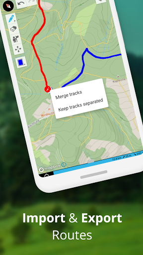
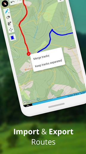
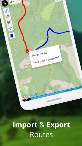
Found the perfect trail on the web? Import GPX files from anywhere. Navigate along the routes, measure distances and analyze elevation profiles. Edit them as you wish.
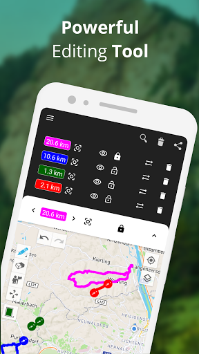
Multiple routes on one map
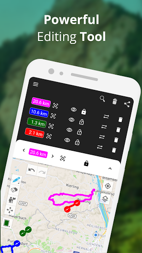
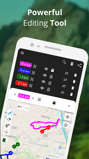
Your are not limited to a single route on a map. TouchTrails allows you to view multiple routes simultaneously on one map. The flexibility of TouchTrails also allows you to combine and connect routes from different sources.
Share routes
Send your routes to friends and share your adventure with them.
TouchTrails is the perfect route planning, GPS tracking and navigation app for all types of outdoor adventures, including:
• Running, walking and hiking
• Cycling and mountain biking
• Motorcycling
• Overlanding
• Skiing
• Mantrailing
• and many more!
TouchTrails Premium
Upgrade to TouchTrails Premium for even more extra power!
• Snap to road
◦ TouchTrails instantly locks onto any road, bike path or hiking trail
• Turn-by-turn Navigation
◦ Warns you when you leave the route
◦ Turn-by-turn directions via audio
• Access 100+ symbols for waypoint customization
• Save an unlimited number of routes
• Export GPX files
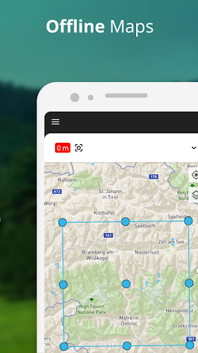
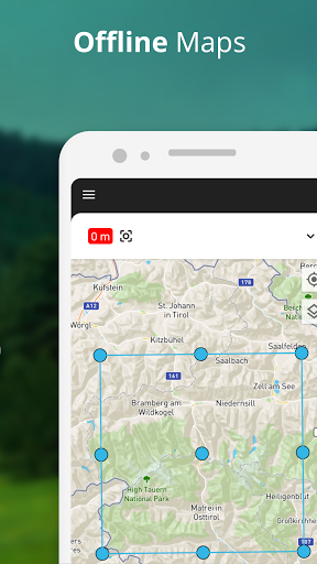
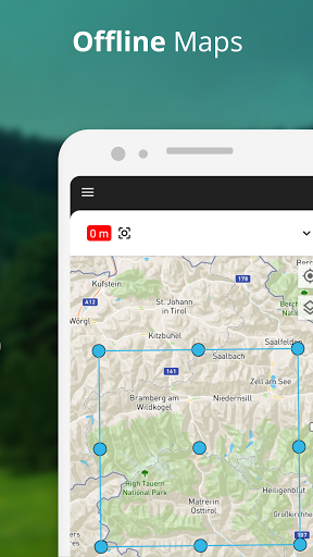
• Offline maps to use TouchTrails even when the internet is unavailable or unreliable
For support and tips, please visit https://www.touchtrails.com/docs/user-guide
Install TouchTrails now and pave your path to unforgettable adventures! 🌲🚴🏃
Show More
Screenshots
Comment
Similar Apps
Top Downloads
Copy [email protected]. All Rights Reserved
Google Play™ is a Trademark of Google Inc.
ApkYes is not affiliated with Google, Android OEMs or Android application developers in any way.

