


GIS Mapper - Surveying App for app
free GIS Mapper - Surveying App for app
download GIS Mapper - Surveying App for app
GIS Mapper - Surveying App for apk
free GIS Mapper - Surveying App for apk
download GIS Mapper - Surveying App for apk
GIS Mapper - Surveying App for
2.2


10K+


Name
GIS Mapper - Surveying App for

Developer
PoloSoftech

Price
Free

Updated on
2023-10-20

Category
Maps & Navigation

Version
1.9


About This app
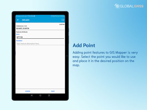
With the GNSS/GPS connection, GIS Mapper survey application is used for GIS data collection. This application is not only enabling the GIS data collection to be faster and efficient in various types of surveys but also helpful to a professional land surveyor to determine the position of areas by measuring angles and distances.
GIS Mapper allows professional land surveyors with an opportunity to collect more accurate survey data in a stipulated time frame. Also, it is a technology-based application that can be used for various GIS mapping surveys such as field survey, land survey, and other surveys which includes field data collection including internal GPS or external GPS. The accuracy of the areas observations is also measured and use this data to create vectors, bearings, coordinates, elevations, areas, volumes, plans and maps.
GIS Mapper is a field and land survey application for geographical areas, analyze spatial information, edit the data and create maps, charts and reports that show users the results in visual forms.
Top amazing features of GIS Mapper app:
- GIS data collection to calculate the area and distance.
- Easier to import attributes from any other data format similar to our format .
- Multiple surveys with one set of attributes
- With multiple export options, a survey using images for any location is available.
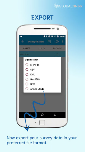
- Export GIS data file formats in CSV, KML, .SHP, GPX ,GeoJSON and ArcGIS JSON
- Direct export to Dropbox, Google Drive, FTP location.
- Easier to import layers (point, line, and polygon) with CSV, KML or geojson file.
- The data can be featured on software like ArcGIS, qGIS etc.. after collection from GIS mapper.
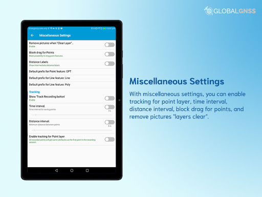
- Connect to the external GNSS/GPS devices, NTRIP/RTK data can be utilised for high accuracy.
- Survey on online GIS maps, and offline maps (supports mbtiles)
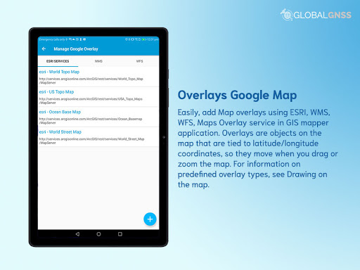
- WMS and WFS Surveyor tiled maps are supported, load topographic and orthophoto maps, geological surveys, cadastral information.
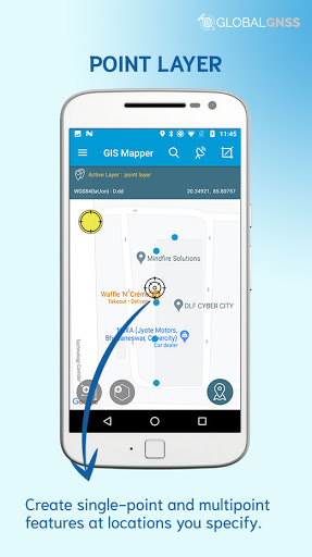
- Four methods of GIS data collection that are supported, (GPS / GNSS location, map cursor location, GIS Tracker, point projection using angle and distance).
- GIS Surveying on multiple types of GIS maps.
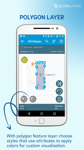
- Easier to viewable multiple layers including points, lines and polygons at the same time.
- Easier to group the data into many survey layers with a default set of attributes.
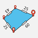
- Fabricate with line features or new polygon, and measure details like area, length and perimeter.
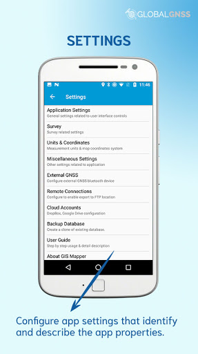
- Backup management.
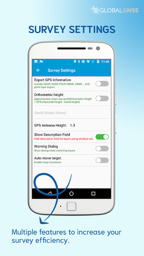
- Works with the GEOID Model to provide elevation for a point.
- Receive Mock Location from 3rd party application.
- Coordinate System Geoid EGM96
The GIS Mapper application can be used by council, architects and builders to see factors such as ground level, contours, existing structures, adjoining structures, fences, and utility services.
GIS Mapper application is useful in various industries, such as:
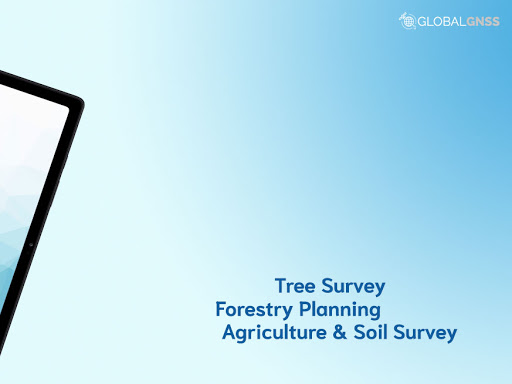
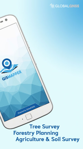
- Forestry
- Residential Land, Commercial Land, and Government Land.
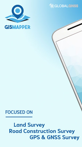
- GPS surveying and GNSS survey.
- Land Survey (Boundary survey, Construction survey, Subdivision survey, Topographic survey and Site planning survey)
- Agricultural and Farm Survey.
- Field Surveys.
- Environmental Systems.
- Highway Road surveys.
Supports Android OS 4.4 and above
This application is made ads-free and hence it will increase your productivity. If you have any problems in installing or downloading or if you face any kind of issue with the application functionalities kindly raise a ticket at: http://globalgnss.com/support/
Show More
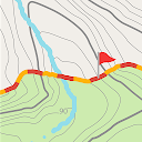
Screenshots


Comment


Similar Apps


Top Downloads


Copy [email protected]. All Rights Reserved
Google Play™ is a Trademark of Google Inc.
ApkYes is not affiliated with Google, Android OEMs or Android application developers in any way.

