AirMate app
free AirMate app
download AirMate app
AirMate apk
free AirMate apk
download AirMate apk

AirMate
3.6
50K+
About This app
Airmate is a free and easy to use application for pilots, providing help for flight planning and navigation, and including many social sharing features.
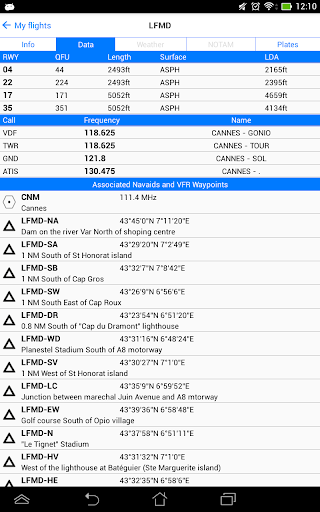
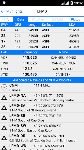
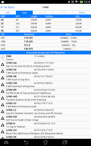
Thanks to Airmate flight planning tools, you will get instant access to airport data and aviation maps worldwide and up to date weather and NOTAMs.
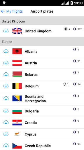
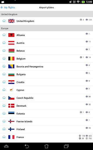
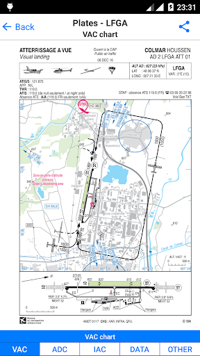
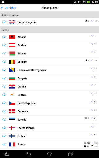
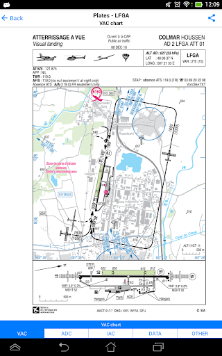
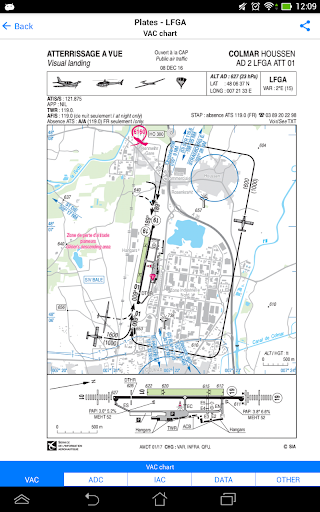
IFR and VFR airport plates are freely available in US (FAA charts), all Europe, and more than 200 other countries. Many of them are georeferenced and could be overlaid on the aviation chart. A powerful Plate Manager allows to download in advance all airport plates in a country, they could be easily printed and viewed.
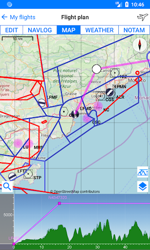
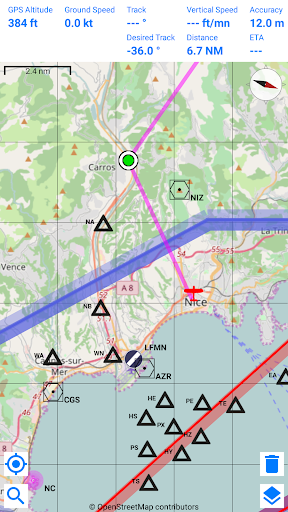
During the flight, the moving map will display the aircraft location along the route, show airports and aeronautical data details. A profile view is available to display terrain elevation across the route. Airmate can also display a backup aircraft attitude indicator and flight parameters in an EFIS-like view using the device internal sensors.
Airmate includes a worldwide aeronautical database updated free of charge with airports, navigation beacons, waypoints, airways, regulated and restricted areas. Topographic maps and elevation data for most countries may be downloaded free of charge, as well as additional aviation map overlays such US Sectionals.
Airmate will also record your flights and allow to replay them later or export the flight path in gpx format.
A Satellite map display mode in flight planning or replay mode allows to familiarize with significant landmarks.
Airmate will save planned and flown flights, user waypoints and user aircrafts in the cloud and sync them between your devices.
Airmate brings numerous social features to the community. Pilots may leave ratings, tips and comments to share their experience with fellow pilots, and report fuel prices and landing fees. They could find friends, instructors, flight schools, aviation events and aircraft to rent near their home airport or any visited airport.
Airmate may be connected to most flight simulators to keep flying skills sharp.
Show More
Screenshots
Comment
Similar Apps
Similar Apps
Top Downloads
Copy [email protected]. All Rights Reserved
Google Play™ is a Trademark of Google Inc.
ApkYes is not affiliated with Google, Android OEMs or Android application developers in any way.

